Howard County sets John Galbraith watershed assessment at $13,000 annually, $100 minimum
November 04, 2025 | Howard County, Indiana
This article was created by AI summarizing key points discussed. AI makes mistakes, so for full details and context, please refer to the video of the full meeting. Please report any errors so we can fix them. Report an error »
Greg said the board had three choices: pursue a three‑year, higher assessment to collect $50,000 per year and hire an engineering firm to design reconstruction options; adopt a permanent lower annual assessment to cover debt and routine work; or continue piecemeal maintenance. He told the board the three‑year option would "cover the debt of the watershed and bring in enough revenue to hire an engineering firm to come up with some solutions" and that after three years the assessment could drop to a $100 minimum with a $13,000 total annual assessment if owners did not favor reconstruction.
During public comment, multiple residents described different local experiences and causes they believe drove flooding. Resident Shelly Layman said a collapsed inlet under Dixon Road had been replaced with a larger pipe and argued the change increased the speed and visibility of flow, saying, "It was the drain that was put in under Dixon Road when it collapsed, was put in twice as big as what was originally there." Several residents urged the board to treat parcels individually, to exclude developed or irrigated properties that have their own detention features, or to allow boundary challenges for parcels they say are not hydrologically connected to the watershed.
County surveyor Greg told property owners there is a formal process to challenge watershed boundaries and explained that "you hiring a hydrologist to show that the boundary that we would be providing is incorrect" would be the typical approach. He also described the primary technical problem as a capacity bottleneck created by several inlet tiles flowing into a smaller outlet tile, which increases the frequency and severity of surface flooding during large storms.
Multiple residents cited recent heavy rainfall events in 2024 and 2025 and showed aerial photos; some argued that trees planted along property lines are causing root intrusion, while others pointed to historic lot grading, homeowner-installed walkout basements and previously changed tile configurations as contributors. The surveyor said increasing capacity "would reduce the occurrence" of flooding events but would not eliminate flooding in every storm.
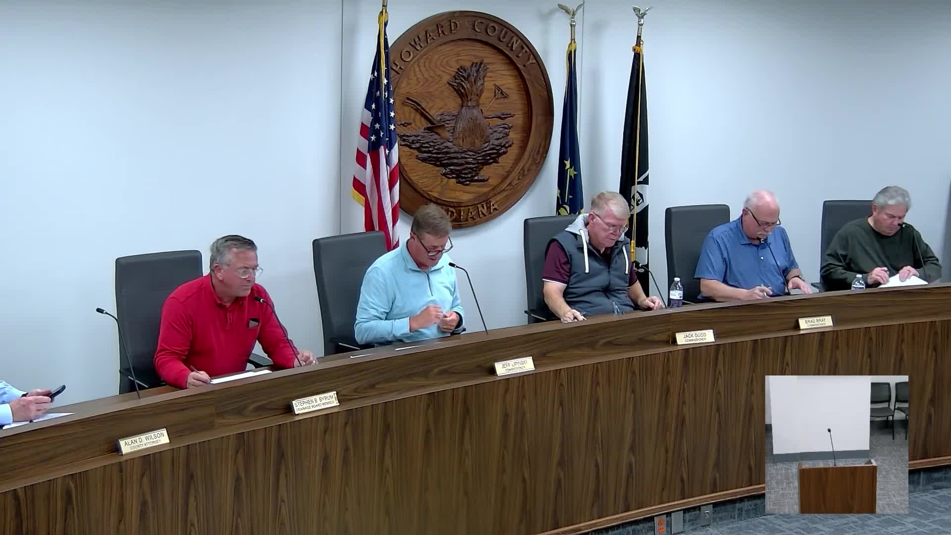
After debate about cost, scope and equity, board member Mr. Dodd offered a motion (read by Mr. Lake) to set the annual watershed assessment level at $13,000, with a $100 minimum fee and bills calculated using minimum fee, land use and soil type methodology. The motion was seconded and carried; the chair announced the motion passed and said property owners "will get a letter of the order with their assessment in that order" showing the dollar amount associated with the $13,000 annual assessment.
The board's action is framed as a compromise: it allows the drainage district to recover the current debt (the surveyor stated the watershed is approximately $16,001.64 in the red), fund ongoing maintenance such as root cutting and riprap repair, and avoid the immediate cost and uncertainty of a multi‑year, $50,000‑per‑year engineering and reconstruction program. Several residents and at least one board member voiced skepticism that a larger, longer study or reconstruction effort would fully solve flooding from the largest storm events.
The board closed the public hearing, returned to regular business and deferred a separate item (the John Downhauer regulated drain fast‑track reconstruction) to the Nov. 17 meeting at the owners' request. The board also adopted its 2026 meeting calendar and adjourned.
What the board decided: the formal action was to set the assessment methodology and envelope—$13,000 annual assessment for the watershed, $100 minimum per parcel, charges calculated by land use and soil type—and to instruct staff to issue orders showing individual assessments.
Next steps and options for property owners: owners who believe their parcel was wrongly included in the watershed may pursue the county's administrative boundary challenge process; Greg said that typically requires hiring a hydrologist to demonstrate a boundary error. The board did not approve a large multi‑year engineering reconstruction at this meeting; that option remains available if the board later elects to pursue it.
Don't Miss a Word: See the Full Meeting!
Go beyond summaries. Unlock every video, transcript, and key insight with a Founder Membership.
30-day money-back guarantee
Sponsors
Proudly supported by sponsors who keep Indiana articles free in 2025

