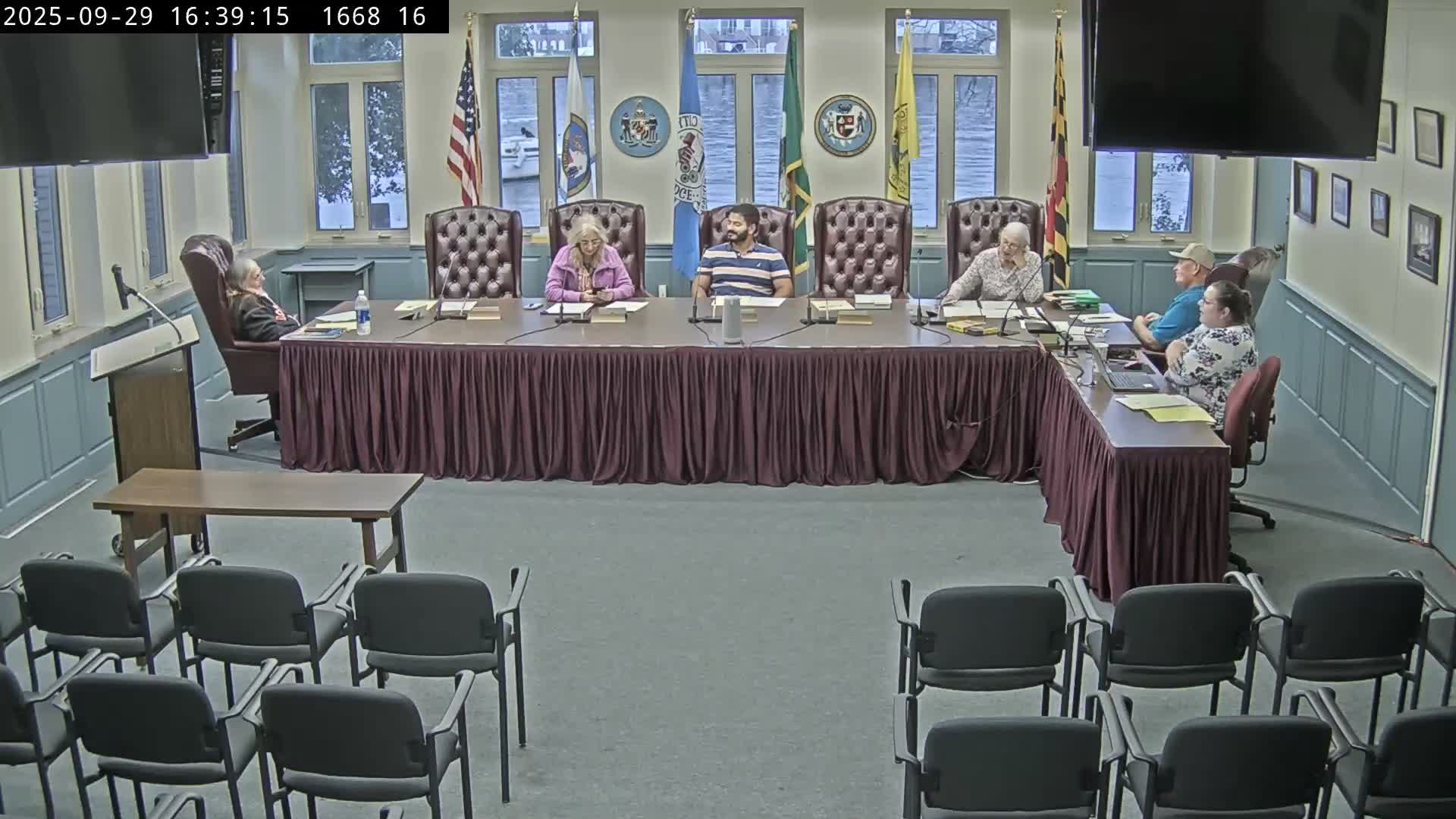
Board outlines scope for cemetery master list and GIS mapping; staff involvement and council approval required
September 29, 2025 | Dorchester County, Maryland
This article was created by AI summarizing key points discussed. AI makes mistakes, so for full details and context, please refer to the video of the full meeting. Please report any errors so we can fix them. Report an error »

The Dorchester County Burial Site Preservation Board discussed a multi-step plan to develop a cemetery master list and to integrate known burial sites into a GIS-based county map, noting that staff resources and council approvals will be necessary for any integrated county database.
Board members said they will work first to collect information and photographs for the master list. Dave reported he had identified “20-plus graves” at a site and will submit a survey form and photos to the board administrator; the transcript records that survey form submissions are received by the board administrator and that planning-and-zoning staff may be involved in later processing.
Kelly, the board administrator, warned that tying any master-list mapping into an existing county GIS system will involve staff fees and planning-and-zoning participation and will require council review and approval. Members agreed to develop a project scope before requesting county resources, and they discussed inviting a GIS specialist (proposed ex officio Mark Deleo) to several meetings to help draft that scope.
The board noted an external database resource (Salisbury University and a private site, DorchesterGraves.com) and said they would investigate data-sharing possibilities. Members agreed to prioritize creating a searchable, public-facing list of known sites but acknowledged that a formal county-hosted GIS layer would be a longer process involving a scope-of-work, cost estimate and council sign-off.
Ending: The board directed members to collect survey forms, photographs and any available existing databases and to prepare a project scope for review with county staff before pursuing GIS integration.
View full meeting
This article is based on a recent meeting—watch the full video and explore the complete transcript for deeper insights into the discussion.
View full meeting
