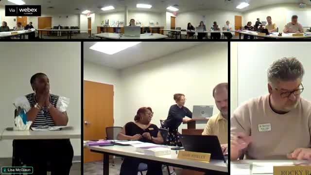
Elections clerk explains street-segment redistricting process and how addresses map to ballots
October 10, 2025 | Athens, Clarke County, Georgia
This article was created by AI summarizing key points discussed. AI makes mistakes, so for full details and context, please refer to the video of the full meeting. Please report any errors so we can fix them. Report an error »

Elections clerk Liza gave a detailed explanation of the office’s redistricting and street-segment process, describing how staff use address lists from the Planning and Zoning Department to create street segments used by Jarvis, the voter-registration system.
Liza said staff group addresses into ranges that share city, ZIP code, precinct and district-combo attributes and — when necessary — split segments by even and odd sides of a street to avoid frequent breaks. She explained that “district combo” is a three‑digit code representing the combination of districts that determine a voter’s ballot.
Staff exclude nonresidential addresses such as university classrooms, businesses and government offices so that those sites are not available for voter registration by mistake. Liza described practical examples: Winterville and Bogart are separate municipalities within Athens-Clarke County and must be correctly identified; Lexington Road is particularly complex, requiring roughly 59 street segments because of multiple precincts, district combos and ZIP codes; some apartment complexes require immediate updates when constructed.
Liza described that updates use Planning and Zoning maps and the Postal Service’s Address Management System; staff said the postal service checks addresses at least twice a year. She said the process is technical and time-consuming and that several experienced staff members work together for large redistricting projects, though maintenance is daily as new addresses appear.
Board members asked clarifying questions about triggers for resegmentation (census redistricting and new construction), who on staff performs the work, and how Jarvis uses the postal city field to determine mail-processing city versus municipal boundaries. Liza said staff perform research when addresses do not appear in source lists and verify each new address before adding it to a street segment in Jarvis.
View full meeting
This article is based on a recent meeting—watch the full video and explore the complete transcript for deeper insights into the discussion.
View full meeting
