Residents press developer and engineers over floodplain mapping; Plan Commission hears public concerns
October 03, 2025 | Tinley Park, Cook County, Illinois
This article was created by AI summarizing key points discussed. AI makes mistakes, so for full details and context, please refer to the video of the full meeting. Please report any errors so we can fix them. Report an error »

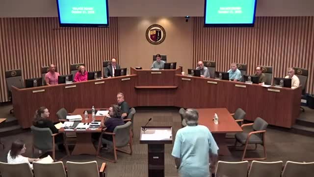
Neighbors near a large development site in Tinley Park pressed the developer and village consultants during public comment at the Plan Commission meeting on Oct. 2 over whether recent floodplain mapping could affect their backyards and property values.
Developer Larry Devon and consultant Diane Bogart of Manhart Consulting described the technical process the project team is following to address an unnumbered floodplain designation on existing maps. Bogart said an “existing conditions” survey and proposed-conditions analysis have been submitted to state reviewers and FEMA as part of a conditional letter of map revision process. The team scheduled a detailed survey of the affected yards for the following Tuesday to gather precise elevation data.
“We spent an 8 and a half million dollars in digging out almost 300,000 cubic yards of dirt,” developer Larry Devon told the commission, saying the excavation will reduce the chance of neighborhood flooding; he offered to work to address any issues the survey uncovers and said the developer will pay to add clean fill and landscaping if minor grade changes are needed.
Bogart said the mapping now visible to residents is an approximation and that the formal remapping process, which includes a public-notice period and technical review by FEMA and state agencies, can take up to two years to finalize. She said the immediate next step is the field survey to determine whether backyards actually fall within the mapped area and whether remediation is required.
Village consultant and engineer Dana West (Robinson Engineering) told residents the village has brought in outside help and is committed to resolving concerns quickly. West added that, under current federal program rules, the village generally cannot issue permits for buildings within a mapped floodway or certain floodplain designations, which provides a procedural constraint on construction until mapping is resolved.
Several residents said the uncertainty and the potential need for flood insurance are a serious concern. Jennifer Vargas, who testified during public comment, said: “We are not opposing the development, but it needs to be so that the residents are protected prior to this development going any further.” Other neighbors raised concerns about the scope of a planned berm, safety near retention areas, noise and construction scheduling.
Village staff and the petitioner told residents they will coordinate the survey logistics, notify homeowners in advance, and pursue engineering and mapping remedies as necessary. Staff asked residents to cooperate with survey crews so the technical work can proceed. The commission did not take action on the mapping itself at the hearing; the commission previously continued a separate agenda item (item 3) to a later date at staff request.
View full meeting
This article is based on a recent meeting—watch the full video and explore the complete transcript for deeper insights into the discussion.
View full meeting
