Marion County Implements New Floodplain Mapping Regulations for Developers
October 01, 2025 | Marion County, Florida
This article was created by AI summarizing key points discussed. AI makes mistakes, so for full details and context, please refer to the video of the full meeting. Please report any errors so we can fix them. Report an error »

Marion County officials are taking significant steps to enhance flood management regulations during the latest Land Development Regulation Commission meeting. The focus was on the integration of updated flood zone information into development plans, a move aimed at improving the county's standing in the Community Rating System (CRS) for FEMA flood insurance.
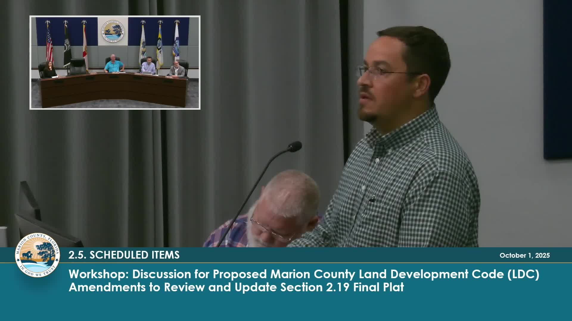
Assistant County Administrator Tracy Straub highlighted the importance of accurately depicting flood zones on plats, noting that this is a critical factor in the county's CRS score. Currently, Marion County does not score well in this system, which affects insurance rates for residents. "We need to ensure that the flood zones shown on our maps reflect the latest engineering analyses, not just the outdated FEMA maps," Straub stated.
The county has recently implemented new code language requiring developers to file map revisions that align with updated engineering plans. This change aims to ensure that the floodplain areas depicted on development plans accurately represent the current conditions, which are often different from those shown on FEMA maps. "What we are depicting on the map is the actual depiction of what the flood zone will be once the revision to the map is done," Straub explained.
The discussion also touched on the challenges faced by staff in balancing administrative approvals with the need for accurate floodplain representation. Staff members expressed their commitment to refining the language used in final plats to ensure clarity and compliance with the new regulations.
As Marion County moves forward with these changes, officials are optimistic that improved floodplain management will not only enhance safety but also potentially lead to better insurance rates for residents. The next steps will involve finalizing the language for administrative approvals and ensuring that all development plans reflect the updated flood zone information.
View full meeting
This article is based on a recent meeting—watch the full video and explore the complete transcript for deeper insights into the discussion.
View full meeting