Waller County Reports Progress on Stormwater Modeling and LiDAR Data Integration
August 06, 2025 | Waller County, Texas
This article was created by AI summarizing key points discussed. AI makes mistakes, so for full details and context, please refer to the video of the full meeting. Please report any errors so we can fix them. Report an error »
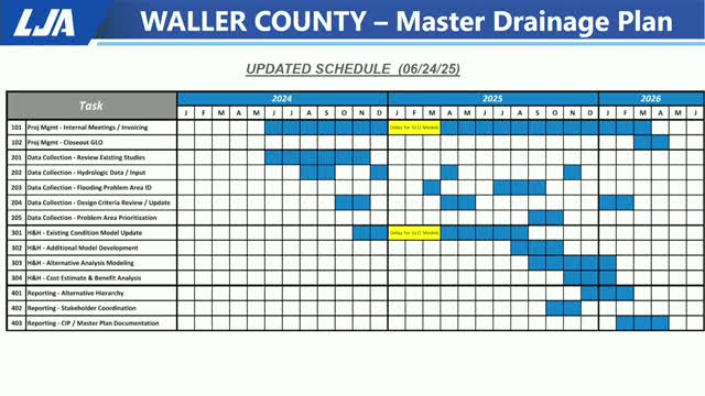
Waller County officials are making significant strides in flood management and modeling, thanks to advanced LiDAR technology and collaborative studies. During a recent Commissioners Court meeting, discussions highlighted the progress made on the Harris County side of Waller, focusing on areas like Waller, Walnut, and Little Cypress.
The county is currently utilizing 2D rain-on-mesh models, which are crucial for understanding flood dynamics. These models are being developed in conjunction with stakeholder coordination and data input, with a dedicated portal set to encourage public participation. Residents can upload photos and videos to assist in flood management efforts, with the information collection running until the end of October.
A key point of discussion was the integration of new LiDAR data, which provides a more detailed view of the terrain compared to previous models. This technology allows for better identification of flood-prone areas that traditional 1D modeling could not capture. Officials noted that the new data could reveal significant changes in land use and impervious surfaces since 2018, enhancing the county's ability to predict and manage flooding.
The meeting also touched on the importance of understanding how water flows between neighborhoods and through roadside ditches, which can lead to unexpected flooding. With the new modeling capabilities, officials are optimistic about improving flood response strategies and protecting residents from future disasters.
As Waller County continues to refine its flood management approach, the integration of advanced technology and community involvement is expected to play a pivotal role in safeguarding the area against flooding risks.
View full meeting
This article is based on a recent meeting—watch the full video and explore the complete transcript for deeper insights into the discussion.
View full meetingSponsors
Proudly supported by sponsors who keep Texas articles free in 2025

