City Council Reviews Future Parks and Trail Master Plan Implementation
August 04, 2025 | Sunnyvale, Dallas County, Texas
This article was created by AI summarizing key points discussed. AI makes mistakes, so for full details and context, please refer to the video of the full meeting. Please report any errors so we can fix them. Report an error »

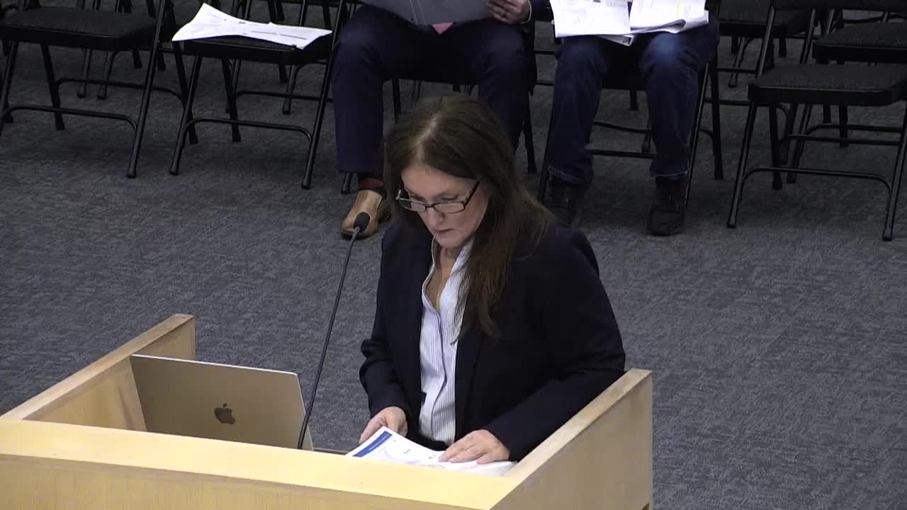
In a recent meeting of the Sunnyvale Board of Adjustment, city officials and community members gathered to discuss the future of local parks and trail connectivity, a topic that promises to shape the landscape of Sunnyvale for years to come. The atmosphere was charged with anticipation as the board reviewed the Parks Master Plan, which includes a detailed map outlining proposed trails and open spaces throughout the community.
At the heart of the discussion was the interpretation of a purple dotted line on the future parks and trail map, which represents potential trail connections. Saruba, a key speaker at the meeting, explained that this long-range plan aims to enhance connectivity for residents by integrating trails into the community as new developments arise. The implementation of this plan relies heavily on acquiring easements—legal rights to use a portion of land for specific purposes, such as pedestrian access.
As the conversation unfolded, board members examined how these trails would interact with existing features, including a detention pond located near the subject property. The proposed trail is envisioned to run along the north side of this pond, creating a scenic route for walkers and cyclists. This connection is not just about aesthetics; it represents a commitment to fostering a more walkable and interconnected community.
The board also addressed some discrepancies in the exhibits presented, ensuring that all members were aligned on the details of the proposed trail routes. The discussion highlighted the importance of clear communication and thorough planning as the town moves forward with its vision for enhanced public spaces.
As the meeting concluded, it became evident that the trail plan is more than just a map; it is a blueprint for Sunnyvale's future, aiming to enrich the community's quality of life through improved access to nature and recreational opportunities. With ongoing development and careful planning, residents can look forward to a more connected and vibrant Sunnyvale.
View full meeting
This article is based on a recent meeting—watch the full video and explore the complete transcript for deeper insights into the discussion.
View full meeting
