Agoura Hills Evaluates Wildfire Risk and Vulnerable Areas in Community Analysis
August 03, 2025 | Agoura Hills, Los Angeles County, California
This article was created by AI summarizing key points discussed. AI makes mistakes, so for full details and context, please refer to the video of the full meeting. Please report any errors so we can fix them. Report an error »
The workshop began with an analysis of fire activity within a five-mile buffer around Agoura Hills. Experts emphasized that no recorded fires have approached the city from the south, indicating that the primary threat comes from the north and northeast. This geographical insight is crucial for understanding how to prioritize resources and develop effective fire prevention strategies.
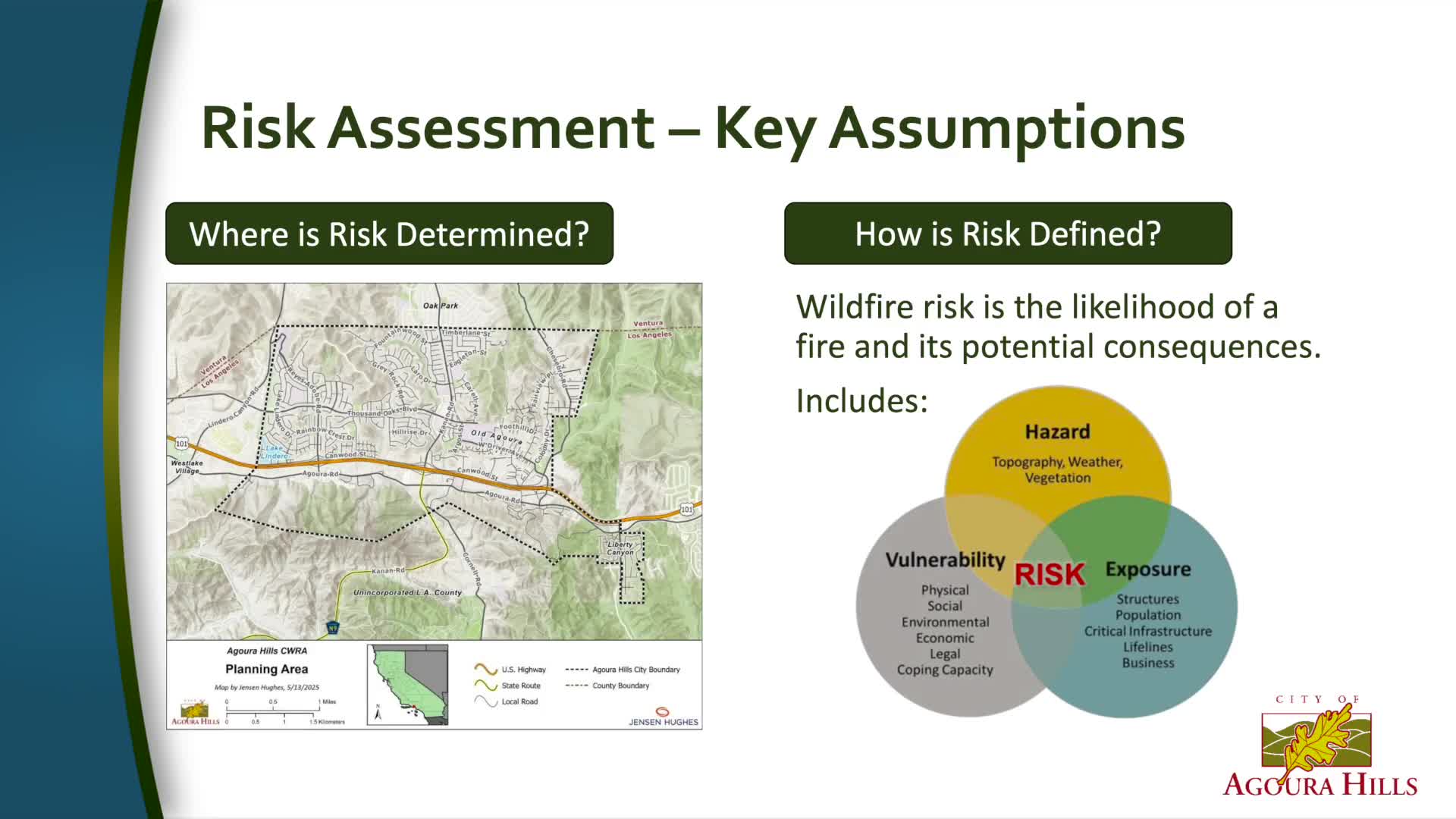
Key discussions revolved around the factors contributing to wildfire risk, including topography, weather conditions, and available fuel sources. The assessment also considered what is at stake for the community, such as critical infrastructure, housing density, and vulnerable populations, including seniors. The economic implications of potential wildfires were also examined, with concerns about how fires could impact local businesses and city operations.
The workshop presented three models for assessing risk: cumulative risk, natural resource value risk, and economic risk. The cumulative risk model highlighted areas with high housing density, indicating that these regions are most at risk during a wildfire event. Conversely, the natural resource value model shifted focus to areas like Lady Face Mountain, which, while less populated, contain important protected habitats.
Participants were encouraged to consider the various dimensions of risk when planning mitigation actions. The discussions underscored the importance of community engagement in identifying priorities for protection and resource allocation. Local knowledge, particularly from residents familiar with the area, was recognized as vital in shaping effective strategies.
As the meeting concluded, attendees were reminded of the need for ongoing collaboration between community members, local fire authorities, and city planners. The insights gained from this workshop will inform the final CWRA plan, which aims to enhance Agoura Hills' resilience against wildfires and safeguard its residents and infrastructure. Future steps will involve detailed planning and implementation of mitigation measures based on the identified risks and community priorities.
View full meeting
This article is based on a recent meeting—watch the full video and explore the complete transcript for deeper insights into the discussion.
View full meetingSponsors
Proudly supported by sponsors who keep California articles free in 2025

